Beginning of footpath on Cooper's Hill
Introduction
The photograph on this page of Beginning of footpath on Cooper's Hill by Jonathan Thacker as part of the Geograph project.
The Geograph project started in 2005 with the aim of publishing, organising and preserving representative images for every square kilometre of Great Britain, Ireland and the Isle of Man.

There are currently over 7.5m images from over 14,400 individuals and you can help contribute to the project by visiting https://www.geograph.org.uk
Beginning of footpath on Cooper's Hill
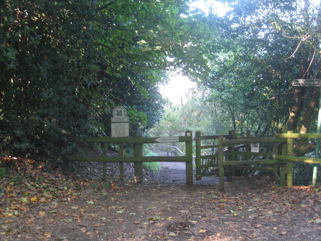
Image: © Jonathan Thacker Taken: 10 Oct 2010
This footpath runs from National Cycle Network Route 4 down to the Thames at Runnymede.
Images are licensed for reuse under creativecommons.org/licenses/by-sa/2.0
Image Location
Latitude
51.43783
Longitude
-0.563417