Wrangway Road
Introduction
The photograph on this page of Wrangway Road by Derek Harper as part of the Geograph project.
The Geograph project started in 2005 with the aim of publishing, organising and preserving representative images for every square kilometre of Great Britain, Ireland and the Isle of Man.

There are currently over 7.5m images from over 14,400 individuals and you can help contribute to the project by visiting https://www.geograph.org.uk
Wrangway Road
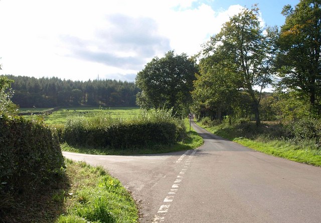
Image: © Derek Harper Taken: 4 Oct 2010
To the right is Wrangway Road, running along the western end of the Blackdown Hills Ridgeway; to the left is the lane to Culm Davy. This is the western corner of Image, which looks in the opposite direction.
Images are licensed for reuse under creativecommons.org/licenses/by-sa/2.0
Image Location
Latitude
50.943208
Longitude
-3.242829