Drummond Street, Comrie
Introduction
The photograph on this page of Drummond Street, Comrie by Jim Barton as part of the Geograph project.
The Geograph project started in 2005 with the aim of publishing, organising and preserving representative images for every square kilometre of Great Britain, Ireland and the Isle of Man.

There are currently over 7.5m images from over 14,400 individuals and you can help contribute to the project by visiting https://www.geograph.org.uk
Drummond Street, Comrie
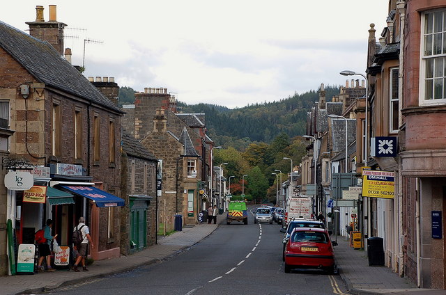
Image: © Jim Barton Taken: 7 Oct 2010
An interesting variety of building styles along the main street where the A85 continues on towards Crieff.
Images are licensed for reuse under creativecommons.org/licenses/by-sa/2.0
Image Location
Latitude
56.374896
Longitude
-3.986384