Junction of William Street/South William Street
Introduction
The photograph on this page of Junction of William Street/South William Street by Rose and Trev Clough as part of the Geograph project.
The Geograph project started in 2005 with the aim of publishing, organising and preserving representative images for every square kilometre of Great Britain, Ireland and the Isle of Man.

There are currently over 7.5m images from over 14,400 individuals and you can help contribute to the project by visiting https://www.geograph.org.uk
Junction of William Street/South William Street
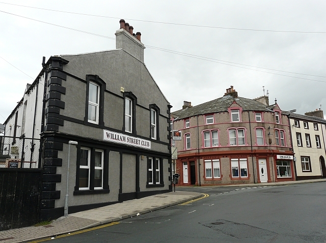
Image: © Rose and Trev Clough Taken: 28 Aug 2010
William Street is round the corner to the left. The curved block with pink and orange paintwork is called Victoria Buildings, dated 1882.
Images are licensed for reuse under creativecommons.org/licenses/by-sa/2.0
Image Location
Latitude
54.64508
Longitude
-3.551154