White's Row, Kenilworth
Introduction
The photograph on this page of White's Row, Kenilworth by John Brightley as part of the Geograph project.
The Geograph project started in 2005 with the aim of publishing, organising and preserving representative images for every square kilometre of Great Britain, Ireland and the Isle of Man.

There are currently over 7.5m images from over 14,400 individuals and you can help contribute to the project by visiting https://www.geograph.org.uk
White's Row, Kenilworth
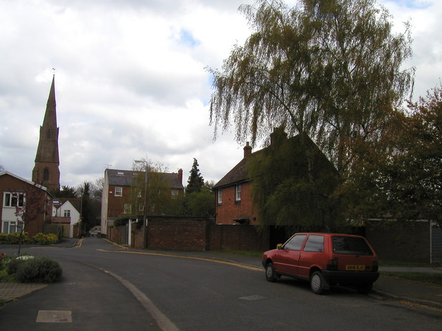
Image: © John Brightley Taken: 20 Apr 2004
Looking eastwards towards St.John's church. The road straight ahead is the original line of the street, leading to Warwick Road. The tall Georgian houses in the background on the right of the street are 190-192 Warwick Road - a view of the front of these houses can be found at Image The section of White's Row that curves off to the left was built in the 1970's and can be seen at Image 1 White's Row, on the right, was demolished c.2005.
Images are licensed for reuse under creativecommons.org/licenses/by-sa/2.0
Image Location
Latitude
52.336587
Longitude
-1.574191