Holmewood Ridge - Eastern Section
Introduction
The photograph on this page of Holmewood Ridge - Eastern Section by Nikki Mahadevan as part of the Geograph project.
The Geograph project started in 2005 with the aim of publishing, organising and preserving representative images for every square kilometre of Great Britain, Ireland and the Isle of Man.

There are currently over 7.5m images from over 14,400 individuals and you can help contribute to the project by visiting https://www.geograph.org.uk
Holmewood Ridge - Eastern Section
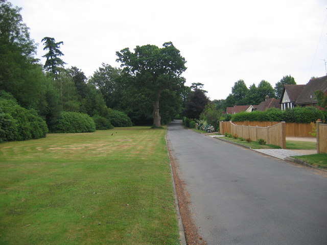
Image: © Nikki Mahadevan Taken: 26 Jul 2006
This quiet road runs parallel to the busy A264 through Langton Green. The wooded area to the left of the picture (north of road) does a good job of shielding the houses from traffic noise.
Images are licensed for reuse under creativecommons.org/licenses/by-sa/2.0
Image Location


Leaflet Map data © OpenStreetMap
Latitude
51.129255
Longitude
0.216625