Fields on the levels
Introduction
The photograph on this page of Fields on the levels by Derek Harper as part of the Geograph project.
The Geograph project started in 2005 with the aim of publishing, organising and preserving representative images for every square kilometre of Great Britain, Ireland and the Isle of Man.

There are currently over 7.5m images from over 14,400 individuals and you can help contribute to the project by visiting https://www.geograph.org.uk
Fields on the levels
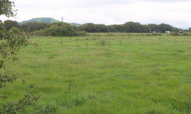
Image: © Derek Harper Taken: 23 Sep 2010
A view from a gate by the A370 across the Somerset Levels south of Eastertown. The cattle are across a drainage channel. Beyond rises Brent Knoll.
Images are licensed for reuse under creativecommons.org/licenses/by-sa/2.0
Image Location
Latitude
51.27898
Longitude
-2.934296