The Quaker burial ground, Hitchin
Introduction
The photograph on this page of The Quaker burial ground, Hitchin by Humphrey Bolton as part of the Geograph project.
The Geograph project started in 2005 with the aim of publishing, organising and preserving representative images for every square kilometre of Great Britain, Ireland and the Isle of Man.

There are currently over 7.5m images from over 14,400 individuals and you can help contribute to the project by visiting https://www.geograph.org.uk
The Quaker burial ground, Hitchin
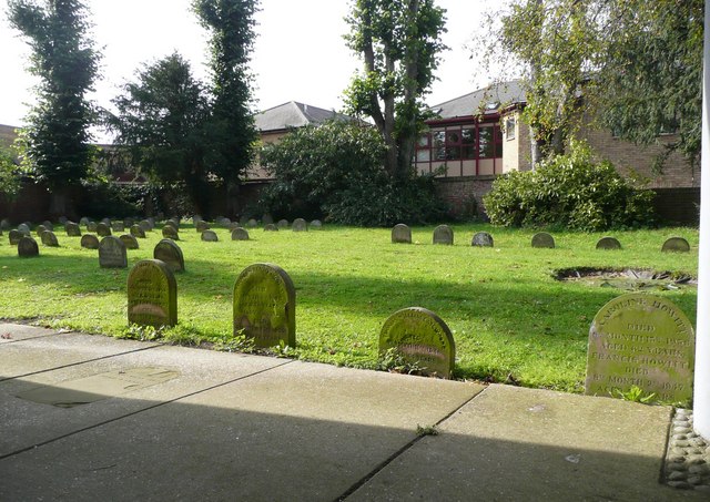
Image: © Humphrey Bolton Taken: 22 Sep 2010
As often in Quaker burial grounds the headstones are of a simple standard shape, although some seem to have sunk into the ground. The stones in the foreground, at least, are inscribed with the number instead of the name of the month.
Images are licensed for reuse under creativecommons.org/licenses/by-sa/2.0
Image Location
Latitude
51.948745
Longitude
-0.281598