Lossiemouth Road
Introduction
The photograph on this page of Lossiemouth Road by Anne Burgess as part of the Geograph project.
The Geograph project started in 2005 with the aim of publishing, organising and preserving representative images for every square kilometre of Great Britain, Ireland and the Isle of Man.

There are currently over 7.5m images from over 14,400 individuals and you can help contribute to the project by visiting https://www.geograph.org.uk
Lossiemouth Road
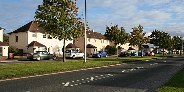
Image: © Anne Burgess Taken: 20 Sep 2010
The housing estates on either side of Lossiemouth Road are set well back from the roadway, with an access road running parallel to the houses and separated from the roadway by a strip of grass.
Images are licensed for reuse under creativecommons.org/licenses/by-sa/2.0
Image Location
Latitude
57.661864
Longitude
-3.31198