Victorian Folly
Introduction
The photograph on this page of Victorian Folly by Linnet as part of the Geograph project.
The Geograph project started in 2005 with the aim of publishing, organising and preserving representative images for every square kilometre of Great Britain, Ireland and the Isle of Man.

There are currently over 7.5m images from over 14,400 individuals and you can help contribute to the project by visiting https://www.geograph.org.uk
Victorian Folly
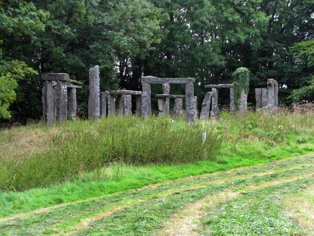
Image: © Linnet Taken: 5 Sep 2010
This folly marked as a 'Temple' on the OS map are a group of locally quarried stone and is a 'replica' of Stonehenge.
Images are licensed for reuse under creativecommons.org/licenses/by-sa/2.0
Image Location
Latitude
52.919638
Longitude
-3.07156