Recreation ground, Elland
Introduction
The photograph on this page of Recreation ground, Elland by Humphrey Bolton as part of the Geograph project.
The Geograph project started in 2005 with the aim of publishing, organising and preserving representative images for every square kilometre of Great Britain, Ireland and the Isle of Man.

There are currently over 7.5m images from over 14,400 individuals and you can help contribute to the project by visiting https://www.geograph.org.uk
Recreation ground, Elland
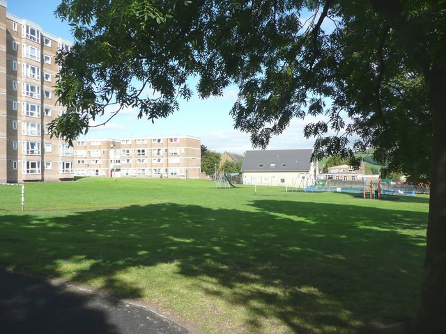
Image: © Humphrey Bolton Taken: 30 Aug 2010
Close to the town centre, and also to many homes in the blocks of flats. The ground used to extend to Victoria Road, but the Roman Catholic church has been built on the southern part.
Images are licensed for reuse under creativecommons.org/licenses/by-sa/2.0
Image Location
Latitude
53.684449
Longitude
-1.839469