Balgowan Farm
Introduction
The photograph on this page of Balgowan Farm by Andy Farrington as part of the Geograph project.
The Geograph project started in 2005 with the aim of publishing, organising and preserving representative images for every square kilometre of Great Britain, Ireland and the Isle of Man.

There are currently over 7.5m images from over 14,400 individuals and you can help contribute to the project by visiting https://www.geograph.org.uk
Balgowan Farm
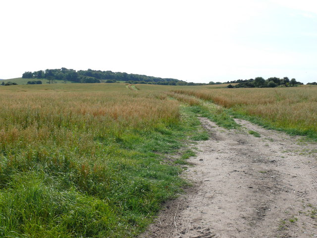
Image: © Andy Farrington Taken: 1 Sep 2010
View across open land near to the farm, Killumpha Drive Plantation is left of picture on the horizon.
Images are licensed for reuse under creativecommons.org/licenses/by-sa/2.0
Image Location
Latitude
54.746503
Longitude
-4.937338