Prince Henry's Close, Evesham
Introduction
The photograph on this page of Prince Henry's Close, Evesham by Jonathan Billinger as part of the Geograph project.
The Geograph project started in 2005 with the aim of publishing, organising and preserving representative images for every square kilometre of Great Britain, Ireland and the Isle of Man.

There are currently over 7.5m images from over 14,400 individuals and you can help contribute to the project by visiting https://www.geograph.org.uk
Prince Henry's Close, Evesham
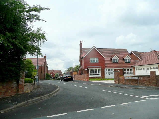
Image: © Jonathan Billinger Taken: 7 Jun 2010
A newly-developed cul-de-sac off Greenhill Park Road.
Images are licensed for reuse under creativecommons.org/licenses/by-sa/2.0
Image Location
Latitude
52.104578
Longitude
-1.941408