The playing fields of Corelli College
Introduction
The photograph on this page of The playing fields of Corelli College by Marathon as part of the Geograph project.
The Geograph project started in 2005 with the aim of publishing, organising and preserving representative images for every square kilometre of Great Britain, Ireland and the Isle of Man.

There are currently over 7.5m images from over 14,400 individuals and you can help contribute to the project by visiting https://www.geograph.org.uk
The playing fields of Corelli College
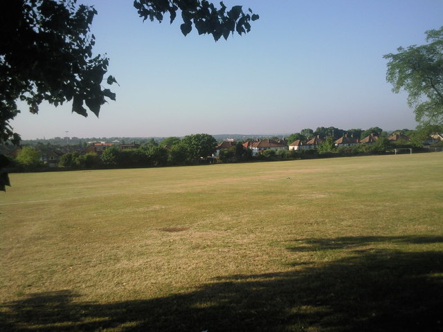
Image: © Marathon Taken: 3 Aug 2010
Taken from Kellaway Road, this view looks across the extensive playing fields of what was formerly Kidbrooke School and is now Corelli College.
Images are licensed for reuse under creativecommons.org/licenses/by-sa/2.0
Image Location
Latitude
51.467407
Longitude
0.037882