Kirkton farm
Introduction
The photograph on this page of Kirkton farm by James Allan as part of the Geograph project.
The Geograph project started in 2005 with the aim of publishing, organising and preserving representative images for every square kilometre of Great Britain, Ireland and the Isle of Man.

There are currently over 7.5m images from over 14,400 individuals and you can help contribute to the project by visiting https://www.geograph.org.uk
Kirkton farm
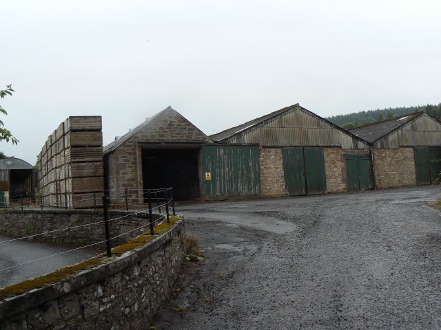
Image: © James Allan Taken: 9 Aug 2010
Potato boxes stand ready for the next crop, alongside the farm buildings.
Images are licensed for reuse under creativecommons.org/licenses/by-sa/2.0
Image Location
Latitude
56.556202
Longitude
-3.148356