Bluecoats Roundabout, Hertford
Introduction
The photograph on this page of Bluecoats Roundabout, Hertford by Rob Candlish as part of the Geograph project.
The Geograph project started in 2005 with the aim of publishing, organising and preserving representative images for every square kilometre of Great Britain, Ireland and the Isle of Man.

There are currently over 7.5m images from over 14,400 individuals and you can help contribute to the project by visiting https://www.geograph.org.uk
Bluecoats Roundabout, Hertford
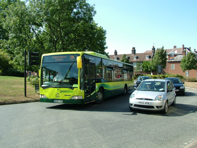
Image: © Rob Candlish Taken: 9 Aug 2010
Arriva East Herts & Essex 3902 on a 724 journey to Heathrow at Bluecoats Roundabout, Hertford, so named because of the former Christ's Hospital School whose old buildings can be seen in the background. Ware Road is out of shot to the right.
Images are licensed for reuse under creativecommons.org/licenses/by-sa/2.0
Image Location
Latitude
51.796791
Longitude
-0.073327