Field by the Naite, Oldbury Naite
Introduction
The photograph on this page of Field by the Naite, Oldbury Naite by Robin Stott as part of the Geograph project.
The Geograph project started in 2005 with the aim of publishing, organising and preserving representative images for every square kilometre of Great Britain, Ireland and the Isle of Man.

There are currently over 7.5m images from over 14,400 individuals and you can help contribute to the project by visiting https://www.geograph.org.uk
Field by the Naite, Oldbury Naite
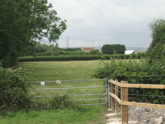
Image: © Robin Stott Taken: 27 Jul 2010
The hedge on the far side of the field runs on the east side of the Naite; seen from near the pumping station. The pantiled roof, the pylon and the distant hills are all recurring elements of this flat landscape by the Severn.
Images are licensed for reuse under creativecommons.org/licenses/by-sa/2.0
Image Location
Latitude
51.638119
Longitude
-2.549049