Drive to Ullington House Farm
Introduction
The photograph on this page of Drive to Ullington House Farm by Philip Halling as part of the Geograph project.
The Geograph project started in 2005 with the aim of publishing, organising and preserving representative images for every square kilometre of Great Britain, Ireland and the Isle of Man.

There are currently over 7.5m images from over 14,400 individuals and you can help contribute to the project by visiting https://www.geograph.org.uk
Drive to Ullington House Farm
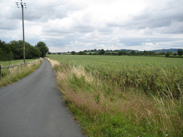
Image: © Philip Halling Taken: 24 Jul 2010
Drive to Ullington House Farm viewed from its junction with the passing road which follows the route of the old Roman Road, Icknield Street.
Images are licensed for reuse under creativecommons.org/licenses/by-sa/2.0
Image Location
Latitude
52.123271
Longitude
-1.837095