Coulsdon: Woodmansterne Road
Introduction
The photograph on this page of Coulsdon: Woodmansterne Road by Dr Neil Clifton as part of the Geograph project.
The Geograph project started in 2005 with the aim of publishing, organising and preserving representative images for every square kilometre of Great Britain, Ireland and the Isle of Man.

There are currently over 7.5m images from over 14,400 individuals and you can help contribute to the project by visiting https://www.geograph.org.uk
Coulsdon: Woodmansterne Road
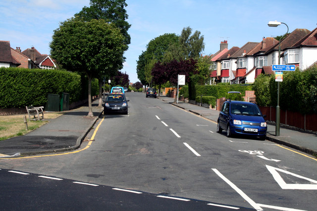
Image: © Dr Neil Clifton Taken: 24 Jul 2010
Woodmansterne Road, and the route of the LOOP, make a subtle change of direction here, heading up the hill to reach the 'Jack and Jill', an appropriately named public house. The route crosses the boundary from the London Borough of Croydon into the London Borough of Sutton on the way.
Images are licensed for reuse under creativecommons.org/licenses/by-sa/2.0
Image Location


Leaflet Map data © OpenStreetMap
Latitude
51.321259
Longitude
-0.145274