Rustington old fire station
Introduction
The photograph on this page of Rustington old fire station by Kevin Hale as part of the Geograph project.
The Geograph project started in 2005 with the aim of publishing, organising and preserving representative images for every square kilometre of Great Britain, Ireland and the Isle of Man.

There are currently over 7.5m images from over 14,400 individuals and you can help contribute to the project by visiting https://www.geograph.org.uk
Rustington old fire station
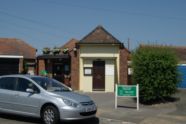
Image: © Kevin Hale Taken: 28 Jun 2010
Rustington old fire station, Woodlands Avenue, Rustington, West Sussex, which was only used as a fire station during World War 2. Now used as council offices.
Images are licensed for reuse under creativecommons.org/licenses/by-sa/2.0
Image Location
Latitude
50.814388
Longitude
-0.506115