Lane nearing Broadhempston
Introduction
The photograph on this page of Lane nearing Broadhempston by Robin Stott as part of the Geograph project.
The Geograph project started in 2005 with the aim of publishing, organising and preserving representative images for every square kilometre of Great Britain, Ireland and the Isle of Man.

There are currently over 7.5m images from over 14,400 individuals and you can help contribute to the project by visiting https://www.geograph.org.uk
Lane nearing Broadhempston
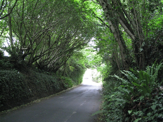
Image: © Robin Stott Taken: 15 Jul 2010
A short length of lane is overhung by old coppiced hazel. Ivy and ferns predominate in the deep shade.
Images are licensed for reuse under creativecommons.org/licenses/by-sa/2.0
Image Location


Leaflet Map data © OpenStreetMap
Latitude
50.482582
Longitude
-3.679645