Farm near Cilrhedyn Bridge
Introduction
The photograph on this page of Farm near Cilrhedyn Bridge by Natasha Ceridwen de Chroustchoff as part of the Geograph project.
The Geograph project started in 2005 with the aim of publishing, organising and preserving representative images for every square kilometre of Great Britain, Ireland and the Isle of Man.

There are currently over 7.5m images from over 14,400 individuals and you can help contribute to the project by visiting https://www.geograph.org.uk
Farm near Cilrhedyn Bridge
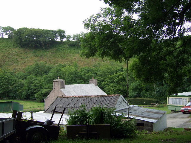
Image: © Natasha Ceridwen de Chroustchoff Taken: 14 Jul 2010
The farm is perched just above the road which crosses Afon Gwaun a short distance away. A walking route passes through the farm yard.
Images are licensed for reuse under creativecommons.org/licenses/by-sa/2.0
Image Location
Latitude
51.977053
Longitude
-4.904705