Electricity Pylon - Fishpond Bottom
Introduction
The photograph on this page of Electricity Pylon - Fishpond Bottom by Sarah Smith as part of the Geograph project.
The Geograph project started in 2005 with the aim of publishing, organising and preserving representative images for every square kilometre of Great Britain, Ireland and the Isle of Man.

There are currently over 7.5m images from over 14,400 individuals and you can help contribute to the project by visiting https://www.geograph.org.uk
Electricity Pylon - Fishpond Bottom
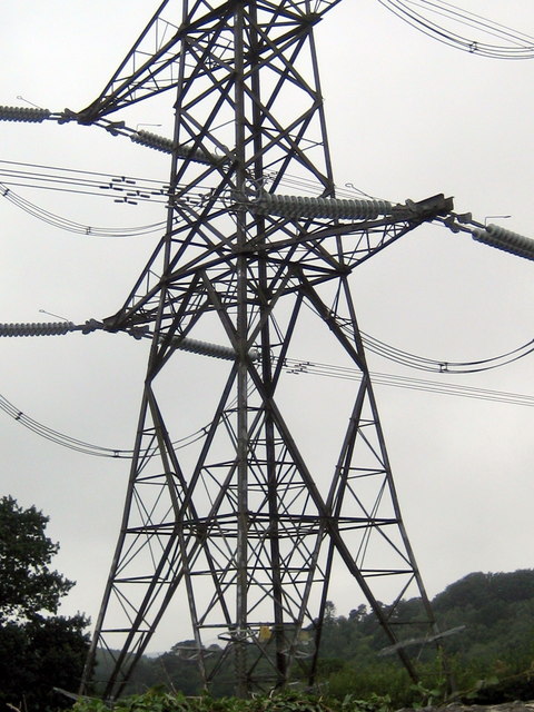
Image: © Sarah Smith Taken: 4 Jul 2010
This photograph was taken from just outside the church. The pylon is quite enormous. One wonders why this "monstrosity" could not have been placed a few metres further on to the right so as not to have dominated the building.
Images are licensed for reuse under creativecommons.org/licenses/by-sa/2.0
Image Location
Latitude
50.780444
Longitude
-2.899359