Below the viewpoint, Over Lane, Almondsbury
Introduction
The photograph on this page of Below the viewpoint, Over Lane, Almondsbury by Robin Stott as part of the Geograph project.
The Geograph project started in 2005 with the aim of publishing, organising and preserving representative images for every square kilometre of Great Britain, Ireland and the Isle of Man.

There are currently over 7.5m images from over 14,400 individuals and you can help contribute to the project by visiting https://www.geograph.org.uk
Below the viewpoint, Over Lane, Almondsbury
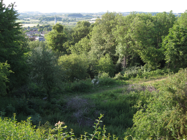
Image: © Robin Stott Taken: 23 Jun 2010
A footpath follows the contours along the steep side of Almondsbury Hill. A break in the trees allows a glimpse of the spire of the parish church and Lower Almondsbury. Around 7-30pm BST.
Images are licensed for reuse under creativecommons.org/licenses/by-sa/2.0
Image Location
Latitude
51.5525
Longitude
-2.572248