Restricted by-way
Introduction
The photograph on this page of Restricted by-way by Jonathan Kington as part of the Geograph project.
The Geograph project started in 2005 with the aim of publishing, organising and preserving representative images for every square kilometre of Great Britain, Ireland and the Isle of Man.

There are currently over 7.5m images from over 14,400 individuals and you can help contribute to the project by visiting https://www.geograph.org.uk
Restricted by-way
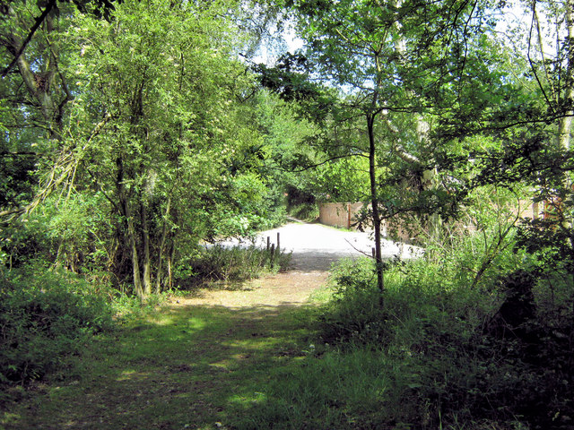
Image: © Jonathan Kington Taken: 30 Jun 2010
Leaving Brereton Heath Country Park at the north-east corner, this restricted by-way takes you past the Methodist Church to the Holmes Chapel road at Davenport- the exit is shown in Image by Whatlep.
Images are licensed for reuse under creativecommons.org/licenses/by-sa/2.0
Image Location
Latitude
53.18355
Longitude
-2.298071