The former junction of Belthorn Road and Haslingden Road
Introduction
The photograph on this page of The former junction of Belthorn Road and Haslingden Road by Bill Boaden as part of the Geograph project.
The Geograph project started in 2005 with the aim of publishing, organising and preserving representative images for every square kilometre of Great Britain, Ireland and the Isle of Man.

There are currently over 7.5m images from over 14,400 individuals and you can help contribute to the project by visiting https://www.geograph.org.uk
The former junction of Belthorn Road and Haslingden Road
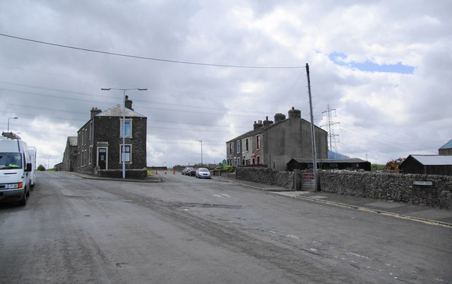
Image: © Bill Boaden Taken: 3 Jul 2010
Rosehill Terrace is on the right. Belthorn Road has been blocked off beyond there by the diversion of Haslingden Road to the M65 junction.
Images are licensed for reuse under creativecommons.org/licenses/by-sa/2.0
Image Location
Latitude
53.725086
Longitude
-2.44205