Foxgloves River West Allen
Introduction
The photograph on this page of Foxgloves River West Allen by Roger Morris as part of the Geograph project.
The Geograph project started in 2005 with the aim of publishing, organising and preserving representative images for every square kilometre of Great Britain, Ireland and the Isle of Man.

There are currently over 7.5m images from over 14,400 individuals and you can help contribute to the project by visiting https://www.geograph.org.uk
Foxgloves River West Allen
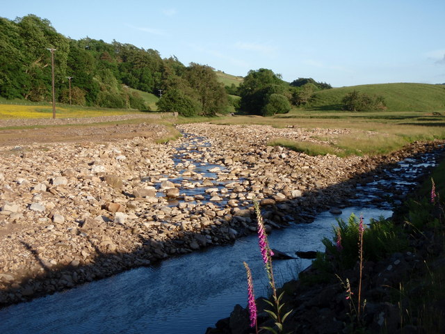
Image: © Roger Morris Taken: 27 Jun 2010
The Mohope Burn flows into the River West Allen by Hawkuplee, mid way between Malakoff and Blackpool bridges on Isaac's Tea Trail.
Images are licensed for reuse under creativecommons.org/licenses/by-sa/2.0
Image Location
Latitude
54.8623
Longitude
-2.34255