St Peter's Church, Toton
Introduction
The photograph on this page of St Peter's Church, Toton by Alan Murray-Rust as part of the Geograph project.
The Geograph project started in 2005 with the aim of publishing, organising and preserving representative images for every square kilometre of Great Britain, Ireland and the Isle of Man.

There are currently over 7.5m images from over 14,400 individuals and you can help contribute to the project by visiting https://www.geograph.org.uk
St Peter's Church, Toton
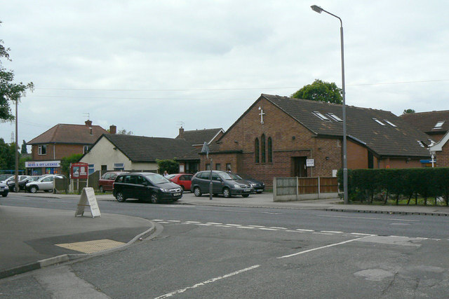
Image: © Alan Murray-Rust Taken: 24 Jun 2010
The church was established in the 1920s as part of the parish of Attenborough, a situation that lasted until 2002 when a new parish of Toton was created. The building itself was consecrated in 1954.
Images are licensed for reuse under creativecommons.org/licenses/by-sa/2.0
Image Location
Latitude
52.90577
Longitude
-1.253875