The old A6091
Introduction
The photograph on this page of The old A6091 by Richard Webb as part of the Geograph project.
The Geograph project started in 2005 with the aim of publishing, organising and preserving representative images for every square kilometre of Great Britain, Ireland and the Isle of Man.

There are currently over 7.5m images from over 14,400 individuals and you can help contribute to the project by visiting https://www.geograph.org.uk
The old A6091
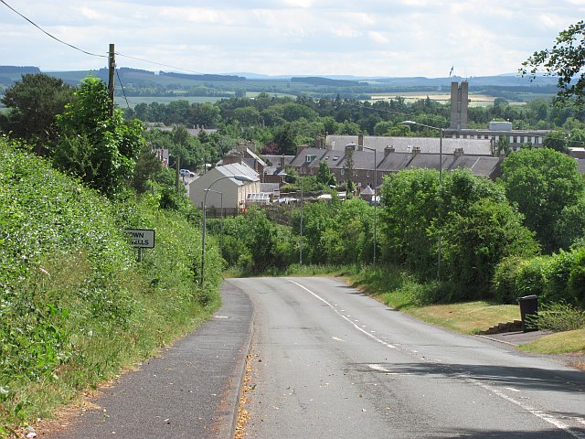
Image: © Richard Webb Taken: 29 Jun 2010
Descent into Newtown St Boswells from Eildon. The road is still open here, serving Eildon, but is closed to motorised traffic just north of Eildon.
Images are licensed for reuse under creativecommons.org/licenses/by-sa/2.0
Image Location
Latitude
55.583004
Longitude
-2.678759