Disused quarry, Caerphilly Common
Introduction
The photograph on this page of Disused quarry, Caerphilly Common by John Lord as part of the Geograph project.
The Geograph project started in 2005 with the aim of publishing, organising and preserving representative images for every square kilometre of Great Britain, Ireland and the Isle of Man.

There are currently over 7.5m images from over 14,400 individuals and you can help contribute to the project by visiting https://www.geograph.org.uk
Disused quarry, Caerphilly Common
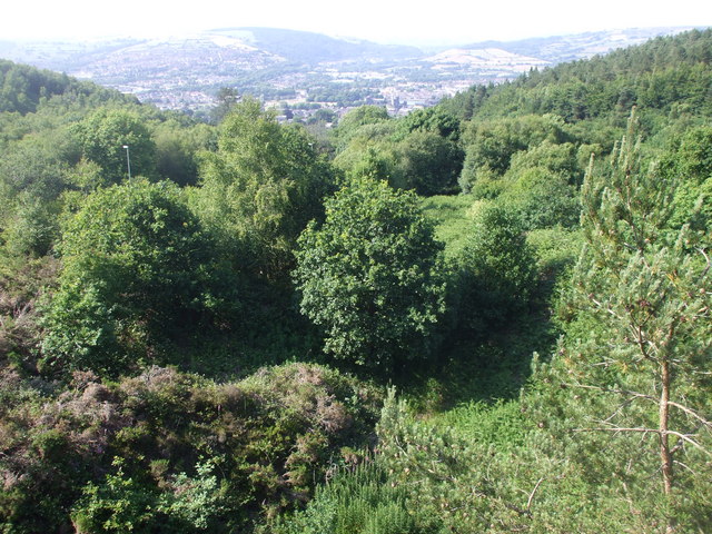
Image: © John Lord Taken: 27 Jun 2010
Caerphilly Castle can be seen in the Vee where the slope coming down from the right meets a slightly higher tree.
Images are licensed for reuse under creativecommons.org/licenses/by-sa/2.0
Image Location
Latitude
51.561713
Longitude
-3.215766