Ickleford: St Katherine's Church
Introduction
The photograph on this page of Ickleford: St Katherine's Church by Nigel Cox as part of the Geograph project.
The Geograph project started in 2005 with the aim of publishing, organising and preserving representative images for every square kilometre of Great Britain, Ireland and the Isle of Man.

There are currently over 7.5m images from over 14,400 individuals and you can help contribute to the project by visiting https://www.geograph.org.uk
Ickleford: St Katherine's Church
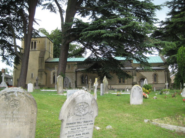
Image: © Nigel Cox Taken: 13 Jun 2010
This Grade I Listed church dates in part from the 12th century. It is surrounded by mature cedar trees which make it difficult to photograph.
Images are licensed for reuse under creativecommons.org/licenses/by-sa/2.0
Image Location
Latitude
51.970844
Longitude
-0.28017