Footbridge near Sandy Lane
Introduction
The photograph on this page of Footbridge near Sandy Lane by David Anstiss as part of the Geograph project.
The Geograph project started in 2005 with the aim of publishing, organising and preserving representative images for every square kilometre of Great Britain, Ireland and the Isle of Man.

There are currently over 7.5m images from over 14,400 individuals and you can help contribute to the project by visiting https://www.geograph.org.uk
Footbridge near Sandy Lane
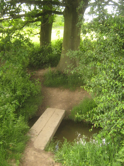
Image: © David Anstiss Taken: 13 Jun 2010
This plank bridge is on a footpath from Belcot Manor Farm towards Sandy Lane. It leads over a stream feeding from Small Hythe Road (right) towards the Tilder Gill.
Images are licensed for reuse under creativecommons.org/licenses/by-sa/2.0
Image Location
Latitude
51.064853
Longitude
0.692278