Hall Lane, Brinsley, Nottinghamshire
Introduction
The photograph on this page of Hall Lane, Brinsley, Nottinghamshire by Alan Slater as part of the Geograph project.
The Geograph project started in 2005 with the aim of publishing, organising and preserving representative images for every square kilometre of Great Britain, Ireland and the Isle of Man.

There are currently over 7.5m images from over 14,400 individuals and you can help contribute to the project by visiting https://www.geograph.org.uk
Hall Lane, Brinsley, Nottinghamshire
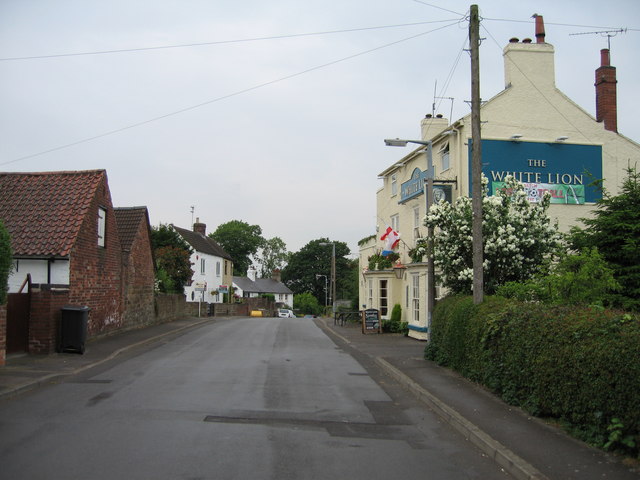
Image: © Alan Slater Taken: 26 Jun 2006
Brinsley is a former mining village. Although still surrounded by productive farmland, nowadays it is more a commuter village for Nottingham and other local towns. Hall Lane is within the conservation area of what local people know as 'Old Brinsley'. New Brinsley is a kilometre or so to the north, although both settlements are continuous with each other. Stoney Lane is the left turn by the yellow grit bin and is a 'dead end'. Hall Lane is another 'dead end' that eventually leads to Hall Farm. The White Lion is one of six public houses in Brinsley and New Brinsley.
Images are licensed for reuse under creativecommons.org/licenses/by-sa/2.0
Image Location
Latitude
53.034966
Longitude
-1.316667