Stoodleigh: Wheatland
Introduction
The photograph on this page of Stoodleigh: Wheatland by Martin Bodman as part of the Geograph project.
The Geograph project started in 2005 with the aim of publishing, organising and preserving representative images for every square kilometre of Great Britain, Ireland and the Isle of Man.

There are currently over 7.5m images from over 14,400 individuals and you can help contribute to the project by visiting https://www.geograph.org.uk
Stoodleigh: Wheatland
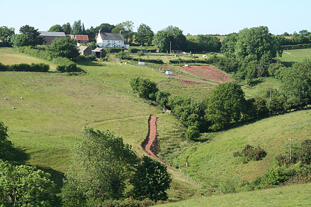
Image: © Martin Bodman Taken: 15 Jun 2010
Seen from the top of Rull Wood, beyond the square. A public bridleway used to run by the farm but has now been diverted south and is possibly the new earthen track seen in the valley
Images are licensed for reuse under creativecommons.org/licenses/by-sa/2.0
Image Location
Latitude
50.962363
Longitude
-3.557763