Burnley Road
Introduction
The photograph on this page of Burnley Road by Gerald England as part of the Geograph project.
The Geograph project started in 2005 with the aim of publishing, organising and preserving representative images for every square kilometre of Great Britain, Ireland and the Isle of Man.

There are currently over 7.5m images from over 14,400 individuals and you can help contribute to the project by visiting https://www.geograph.org.uk
Burnley Road
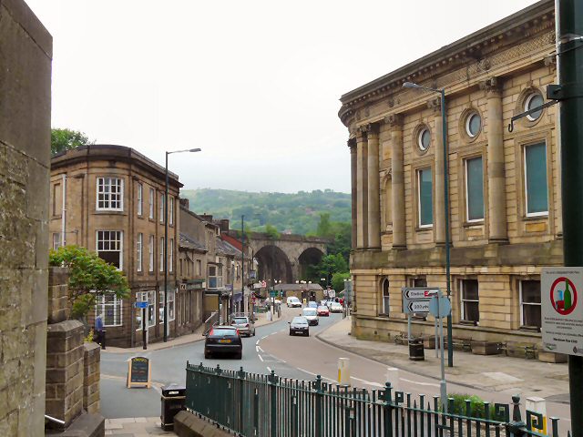
Image: © Gerald England Taken: 10 Jun 2010
The A646 through Todmorden viewed from St Mary's Church. The large building on the right is the Town Hall.
Images are licensed for reuse under creativecommons.org/licenses/by-sa/2.0
Image Location
Latitude
53.713998
Longitude
-2.096781