Tenterden Flyer
Introduction
The photograph on this page of Tenterden Flyer by David Anstiss as part of the Geograph project.
The Geograph project started in 2005 with the aim of publishing, organising and preserving representative images for every square kilometre of Great Britain, Ireland and the Isle of Man.

There are currently over 7.5m images from over 14,400 individuals and you can help contribute to the project by visiting https://www.geograph.org.uk
Tenterden Flyer
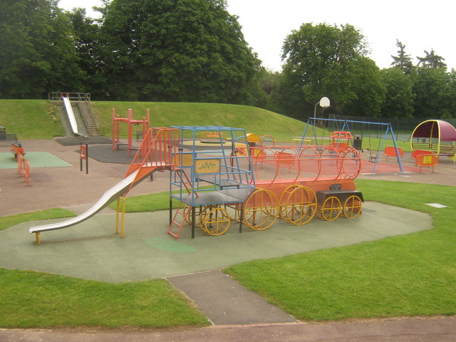
Image: © David Anstiss Taken: 13 Jun 2010
Play equipment in a play area of Tenterden Recreational Ground. Tenterden is home to a station of the Kent and East Sussex Railway. See http://www.geograph.org.uk/snippet/117 for more details about the railway.
Images are licensed for reuse under creativecommons.org/licenses/by-sa/2.0
Image Location


Leaflet Map data © OpenStreetMap
Latitude
51.068575
Longitude
0.690781