Meadow, Trevarren
Introduction
The photograph on this page of Meadow, Trevarren by Derek Harper as part of the Geograph project.
The Geograph project started in 2005 with the aim of publishing, organising and preserving representative images for every square kilometre of Great Britain, Ireland and the Isle of Man.

There are currently over 7.5m images from over 14,400 individuals and you can help contribute to the project by visiting https://www.geograph.org.uk
Meadow, Trevarren
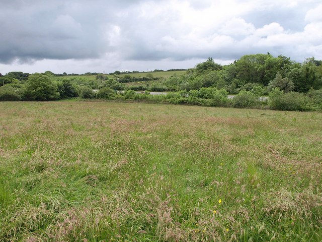
Image: © Derek Harper Taken: 8 Jun 2010
Taken in the field shown in Image, with the A39. Footpath 417/56/1 crosses this field, but, in spite of being ranked gold by Cornwall County Council, is impassable thanks to a barbed wire fence at the western edge of the field.
Images are licensed for reuse under creativecommons.org/licenses/by-sa/2.0
Image Location
Latitude
50.404382
Longitude
-4.943922