The White Hart, Wiveliscombe
Introduction
The photograph on this page of The White Hart, Wiveliscombe by Maigheach-gheal as part of the Geograph project.
The Geograph project started in 2005 with the aim of publishing, organising and preserving representative images for every square kilometre of Great Britain, Ireland and the Isle of Man.

There are currently over 7.5m images from over 14,400 individuals and you can help contribute to the project by visiting https://www.geograph.org.uk
The White Hart, Wiveliscombe
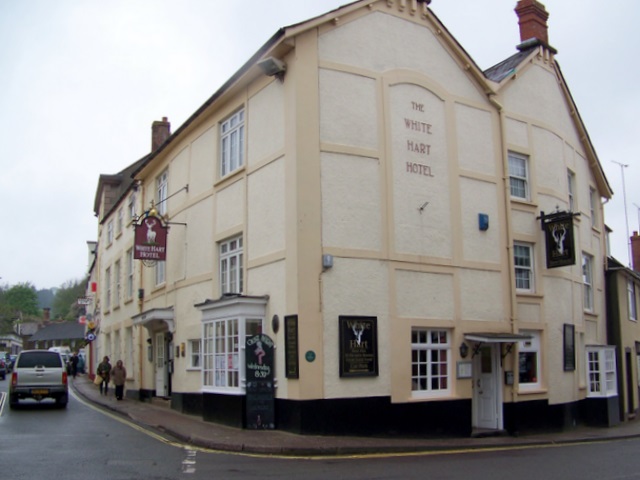
Image: © Maigheach-gheal Taken: 6 May 2010
Former coaching inn in the older part of the town. For a closer view of the sign Image and Image
Images are licensed for reuse under creativecommons.org/licenses/by-sa/2.0
Image Location
Latitude
51.042095
Longitude
-3.311661