View along the road to Fletching near Fletching Mill
Introduction
The photograph on this page of View along the road to Fletching near Fletching Mill by Nick Smith as part of the Geograph project.
The Geograph project started in 2005 with the aim of publishing, organising and preserving representative images for every square kilometre of Great Britain, Ireland and the Isle of Man.

There are currently over 7.5m images from over 14,400 individuals and you can help contribute to the project by visiting https://www.geograph.org.uk
View along the road to Fletching near Fletching Mill
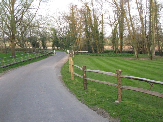
Image: © Nick Smith Taken: 18 Apr 2010
The road crosses the River Ouse at the bend in the road but the area is obviously liable to flooding as there is a raised walkway along the edge of the road, shown more clearly in other submissions.
Images are licensed for reuse under creativecommons.org/licenses/by-sa/2.0
Image Location
Latitude
50.988078
Longitude
0.027361