B4455 Fosse Way heads south
Introduction
The photograph on this page of B4455 Fosse Way heads south by Robin Stott as part of the Geograph project.
The Geograph project started in 2005 with the aim of publishing, organising and preserving representative images for every square kilometre of Great Britain, Ireland and the Isle of Man.

There are currently over 7.5m images from over 14,400 individuals and you can help contribute to the project by visiting https://www.geograph.org.uk
B4455 Fosse Way heads south
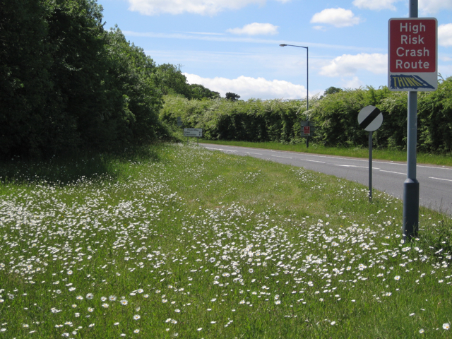
Image: © Robin Stott Taken: 28 May 2010
Leaving the junction with the B4100. Stow 22, Cirencester 41 miles. The verge is dusted with ox-eye daisies.
Images are licensed for reuse under creativecommons.org/licenses/by-sa/2.0
Image Location


Leaflet Map data © OpenStreetMap
Latitude
52.219852
Longitude
-1.517049