Westcott
Introduction
The photograph on this page of Westcott by Ian Capper as part of the Geograph project.
The Geograph project started in 2005 with the aim of publishing, organising and preserving representative images for every square kilometre of Great Britain, Ireland and the Isle of Man.

There are currently over 7.5m images from over 14,400 individuals and you can help contribute to the project by visiting https://www.geograph.org.uk
Westcott
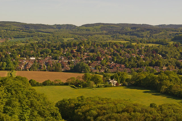
Image: © Ian Capper Taken: 22 May 2010
Viewed from Denbies Hillside, with Leith Hill in the background. The tower on the summit of Leith Hill can be seen on the skyline near the right hand edge of the photo.
Images are licensed for reuse under creativecommons.org/licenses/by-sa/2.0
Image Location
Latitude
51.227829
Longitude
-0.365201