Barn Moor Wood and Wood Farm
Introduction
The photograph on this page of Barn Moor Wood and Wood Farm by John Brightley as part of the Geograph project.
The Geograph project started in 2005 with the aim of publishing, organising and preserving representative images for every square kilometre of Great Britain, Ireland and the Isle of Man.

There are currently over 7.5m images from over 14,400 individuals and you can help contribute to the project by visiting https://www.geograph.org.uk
Barn Moor Wood and Wood Farm
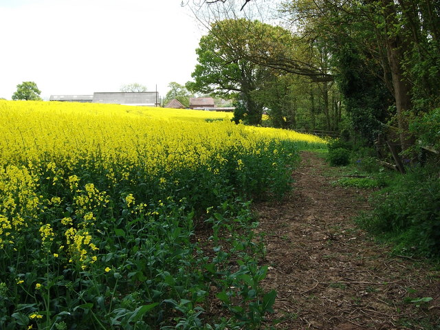
Image: © John Brightley Taken: 18 May 2010
The name of this small wood (on the right in this photo) comes from the large scale OS plans - the 1:25,000 OS maps do not name it at all. Photo taken from the footpath which leads through the wood to Ansley. Wood Farm in the background.
Images are licensed for reuse under creativecommons.org/licenses/by-sa/2.0
Image Location
Latitude
52.526171
Longitude
-1.545535