Lime Kiln Lane
Introduction
The photograph on this page of Lime Kiln Lane by Derek Harper as part of the Geograph project.
The Geograph project started in 2005 with the aim of publishing, organising and preserving representative images for every square kilometre of Great Britain, Ireland and the Isle of Man.

There are currently over 7.5m images from over 14,400 individuals and you can help contribute to the project by visiting https://www.geograph.org.uk
Lime Kiln Lane
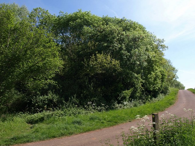
Image: © Derek Harper Taken: 22 May 2010
Footpath WS 10/13 veers off to the left into Round Wood on Milton Hill. Lime Kiln Lane, carrying the West Mendip Way, continues along the edge of the wood.
Images are licensed for reuse under creativecommons.org/licenses/by-sa/2.0
Image Location
Latitude
51.219338
Longitude
-2.661033