Lane to Grimscote
Introduction
The photograph on this page of Lane to Grimscote by Rob Farrow as part of the Geograph project.
The Geograph project started in 2005 with the aim of publishing, organising and preserving representative images for every square kilometre of Great Britain, Ireland and the Isle of Man.

There are currently over 7.5m images from over 14,400 individuals and you can help contribute to the project by visiting https://www.geograph.org.uk
Lane to Grimscote
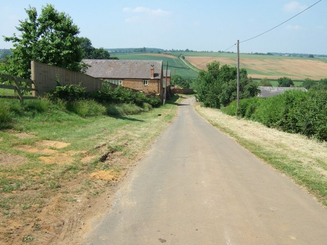
Image: © Rob Farrow Taken: 17 Jun 2006
The building on the left is Cold Higham Lodge; on the right can just be seen the roof of Grimscote Mill (going by the map). This lane is north of Fosters Booth.
Images are licensed for reuse under creativecommons.org/licenses/by-sa/2.0
Image Location


Leaflet Map data © OpenStreetMap
Latitude
52.185671
Longitude
-1.031657