Disused golf driving range, Rotherhithe
Introduction
The photograph on this page of Disused golf driving range, Rotherhithe by Stephen Craven as part of the Geograph project.
The Geograph project started in 2005 with the aim of publishing, organising and preserving representative images for every square kilometre of Great Britain, Ireland and the Isle of Man.

There are currently over 7.5m images from over 14,400 individuals and you can help contribute to the project by visiting https://www.geograph.org.uk
Disused golf driving range, Rotherhithe
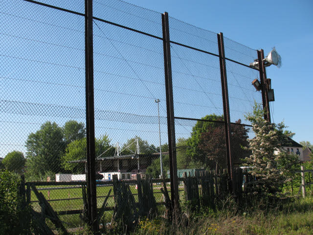
Image: © Stephen Craven Taken: 23 May 2010
The driving range is off Salter Road. This view is from a footpath between the range and the school playing fields. The high fence that spoils the view was obviously needed to keep golf balls from hitting users of the path. As of 2010 the range was derelict, with signs on the fence warning that unofficial use of the site was prohibited.
Images are licensed for reuse under creativecommons.org/licenses/by-sa/2.0
Image Location
Latitude
51.504761
Longitude
-0.043307