Getting more light to Tinsley towpath
Introduction
The photograph on this page of Getting more light to Tinsley towpath by Nic Franklin-Woolley as part of the Geograph project.
The Geograph project started in 2005 with the aim of publishing, organising and preserving representative images for every square kilometre of Great Britain, Ireland and the Isle of Man.

There are currently over 7.5m images from over 14,400 individuals and you can help contribute to the project by visiting https://www.geograph.org.uk
Getting more light to Tinsley towpath
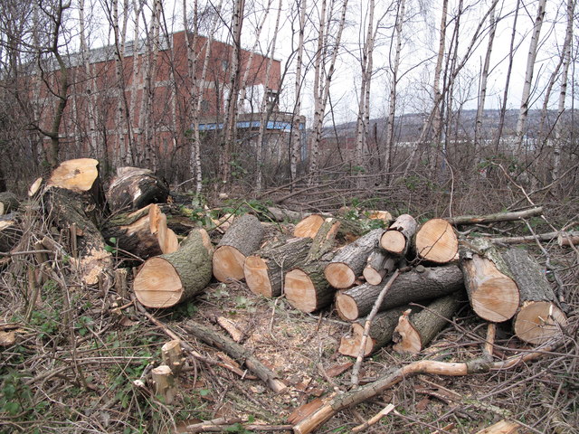
Image: © Nic Franklin-Woolley Taken: 23 Mar 2010
Hopefully more towns and cities will renovate and re-open their canals. This long spur of canal is due to be dredged, but only after campaigners insisted work was required. They pointed out how shallow it had become, needed to be surveyed and pushed for funding from British Waterways, who are now due to become a charity, with implications for their own funds. With luck, this will lead to a successful working relationship between volunteers and the paid staff, as well as opening up the canal network for us all to enjoy.
Images are licensed for reuse under creativecommons.org/licenses/by-sa/2.0
Image Location
Latitude
53.407692
Longitude
-1.408789