Respryn Road
Introduction
The photograph on this page of Respryn Road by roger geach as part of the Geograph project.
The Geograph project started in 2005 with the aim of publishing, organising and preserving representative images for every square kilometre of Great Britain, Ireland and the Isle of Man.

There are currently over 7.5m images from over 14,400 individuals and you can help contribute to the project by visiting https://www.geograph.org.uk
Respryn Road
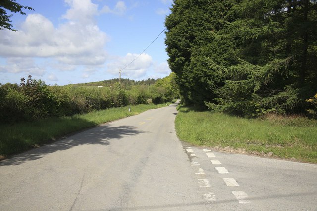
Image: © roger geach Taken: 17 May 2010
Crossroads looking towards Respryn and the country road towards Lanhydrock house some couple of miles away. The road on the right is shut for road works, this leads down to the Fowey valley or Glynn valley as it is known locally.
Images are licensed for reuse under creativecommons.org/licenses/by-sa/2.0
Image Location
Latitude
50.44183
Longitude
-4.63932