Church Road, St Brides
Introduction
The photograph on this page of Church Road, St Brides by Jaggery as part of the Geograph project.
The Geograph project started in 2005 with the aim of publishing, organising and preserving representative images for every square kilometre of Great Britain, Ireland and the Isle of Man.

There are currently over 7.5m images from over 14,400 individuals and you can help contribute to the project by visiting https://www.geograph.org.uk
Church Road, St Brides
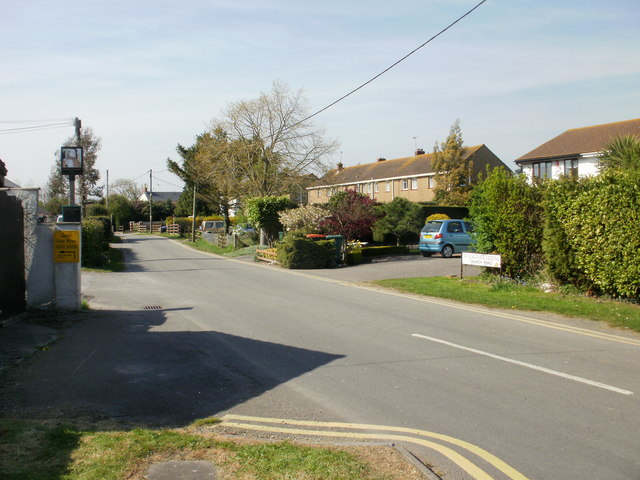
Image: © Jaggery Taken: 22 Apr 2010
The view from the corner of the B4239. On the left is the turning for the Church House Inn http://www.geograph.org.uk/photo/1859836 and Chapel Guest House http://www.geograph.org.uk/photo/1860073 ; on the right, the white house is part of Bridesvale Gardens. http://www.geograph.org.uk/photo/1859789
Images are licensed for reuse under creativecommons.org/licenses/by-sa/2.0
Image Location
Latitude
51.534259
Longitude
-3.020685