Groton House
Introduction
The photograph on this page of Groton House by Oliver Dixon as part of the Geograph project.
The Geograph project started in 2005 with the aim of publishing, organising and preserving representative images for every square kilometre of Great Britain, Ireland and the Isle of Man.

There are currently over 7.5m images from over 14,400 individuals and you can help contribute to the project by visiting https://www.geograph.org.uk
Groton House
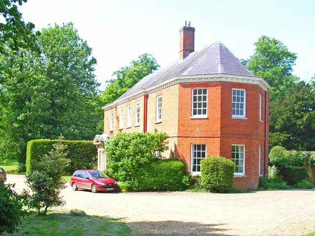
Image: © Oliver Dixon Taken: 9 Jun 2006
The original Groton House, of enormous size, burned down about 30 years ago. The present house, and two others, all quite large, were rebuilt on the site, incorporating some of the original fabric.
Images are licensed for reuse under creativecommons.org/licenses/by-sa/2.0
Image Location


Leaflet Map data © OpenStreetMap
Latitude
52.047056
Longitude
0.859745