Over the stream
Introduction
The photograph on this page of Over the stream by Michael Dibb as part of the Geograph project.
The Geograph project started in 2005 with the aim of publishing, organising and preserving representative images for every square kilometre of Great Britain, Ireland and the Isle of Man.

There are currently over 7.5m images from over 14,400 individuals and you can help contribute to the project by visiting https://www.geograph.org.uk
Over the stream
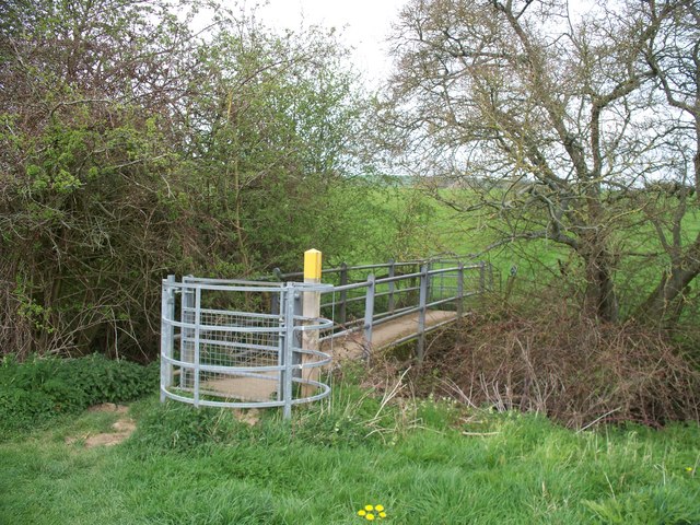
Image: © Michael Dibb Taken: 28 Apr 2010
Four footpaths meet at this point and the bridge carries two of them over the stream. The stream eventually becomes the River Stour.
Images are licensed for reuse under creativecommons.org/licenses/by-sa/2.0
Image Location
Latitude
52.031425
Longitude
-1.567328